
2. Analytical process
Wilfredo A. Garzón Paipilla, 2013.
The RAISG has common protocols for the collection, compilation, analysis, and representation of the data having common legends for all countries.
1. Boundaries of Amazonia: We adjust limits such as waterways and watersheds, and then the straight lines. The result is a map of “referential limits”.
2. Analytical Approach:
2.1 Protected Natural Areas (PNA) and Indigenous Territories (IT): When IT and PNA extend beyond Amazonia, only the area lying within the limits of Amazonia is considered. In the case of coastal areas, only their continental coverage is included.
2.2 Pressures and threats: By pressure we mean those activities that are ongoing or in the process of installation and whose impacts can be measured, while threats are projects and planned investments, whose characteristics allow us to estimate their future impacts.
2.3 Symptoms and consequences: deforestation, fires, and changes in the amount of stored carbon. The analysis enables us to foresee potential impacts on climate regulation, and identify those areas that have experienced the greatest transformation.
3. Synthesis maps: This Atlas establishes homogeneous units of analysis (UHA) for thematic analysis, especially multi-temporal analyses; 20 km2 hexagons are used for this.
4. Basin Headwaters and Flood Seasonality: An analysis of the water productivity of the hydrographic basins was carried out for the entire RAISG limit, with emphasis on the headwaters of the basin and the seasonality of floods.
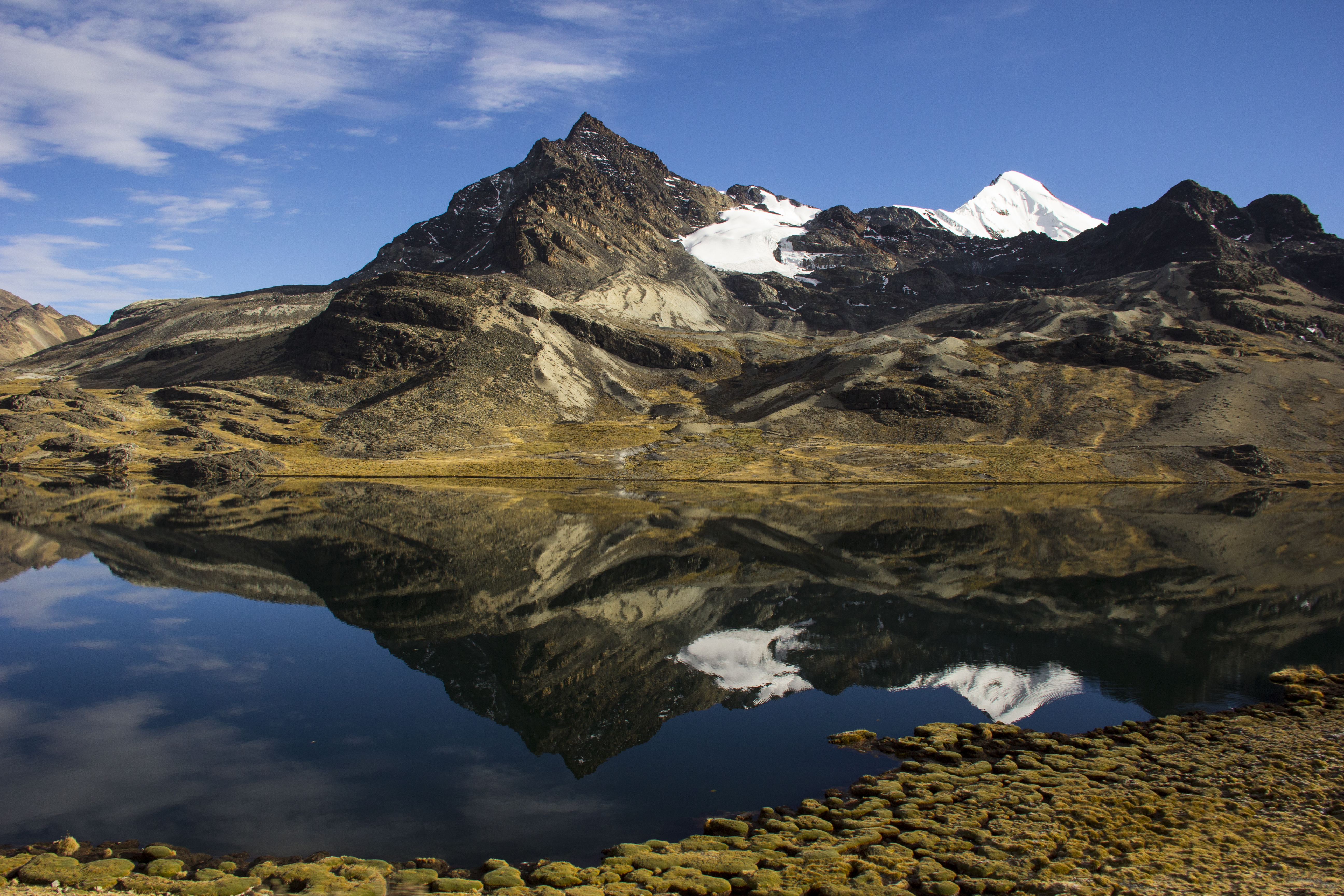
Mount Katantika, Apolobamba National Park, La Paz, Bolivia. Marcelo Arze/FAN, 2013.